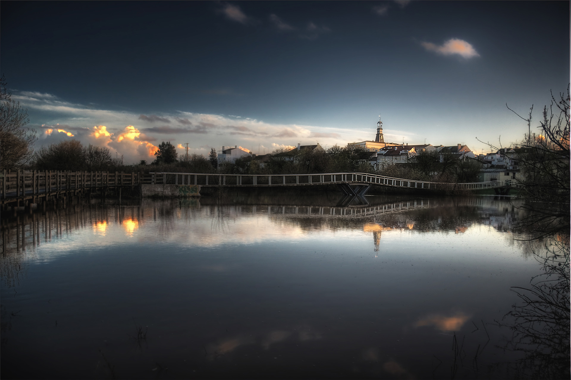
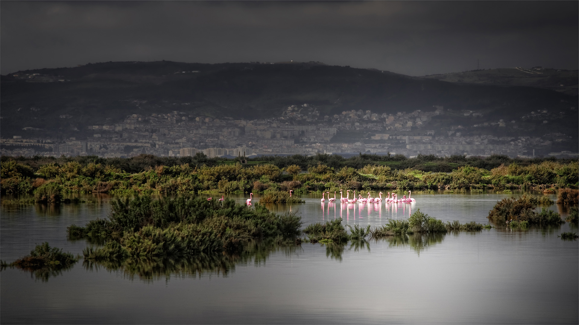
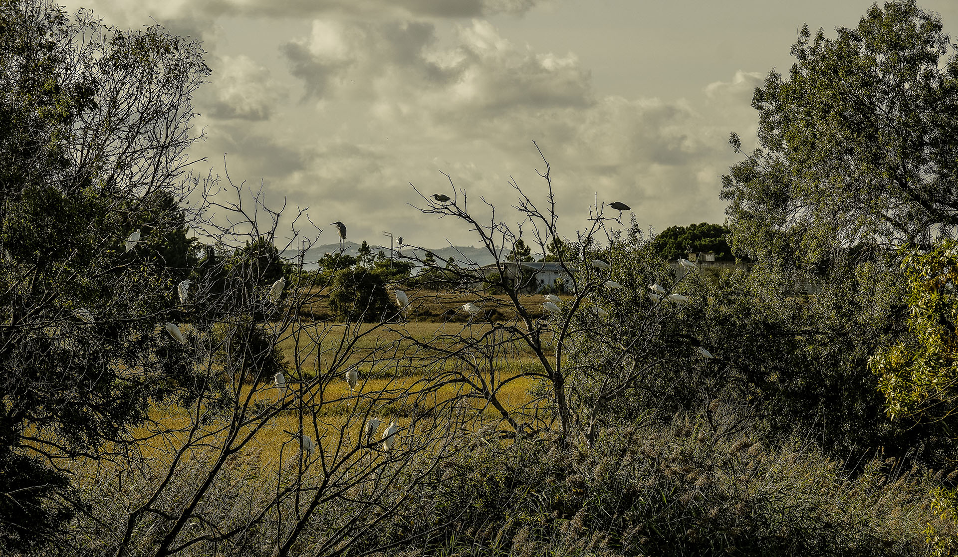
The Benavente Municipality is a reference territory between Ribatejo and Lisbon. The riverside, Lezíria and Ribatejo moorland mark its cultural identity and contribute to the territory’s recognized importance from the point of view of its natural heritage, with a special focus on wild birdlife. The access roads that have been created in the meantime (the A10 and A13) have opened up new possibilities for social and economic development based on modern assumptions of modernity, while guaranteeing the preservation of our identity.
Located in the district of Santarém, this territory can be understood as a great agricultural area nearby Tejo River, to the north with the large rice cultures and the extensive cork tree forest as we head south.
It covers an area of 521.38 km2 and is home to around 30,000 inhabitants in its four parishes, Benavente, Samora Correia, Santo Estevão and Barrosa.
Its rich history and culture, combined with its priceless natural heritage, give this region a unique beauty. Those who visit are not indifferent to the diversity of points of interest that our municipality offers.
Lezíria Ribatejana
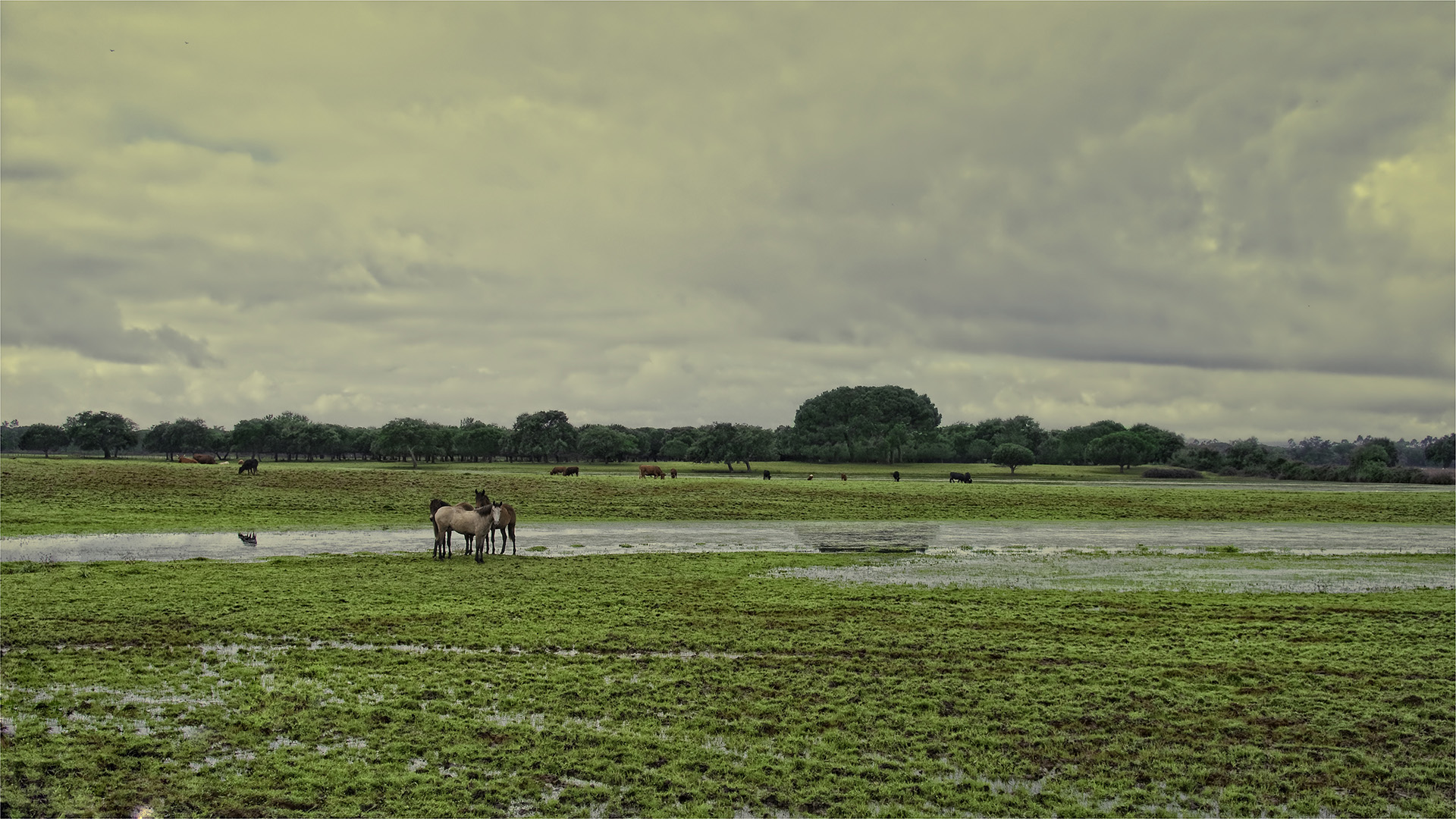
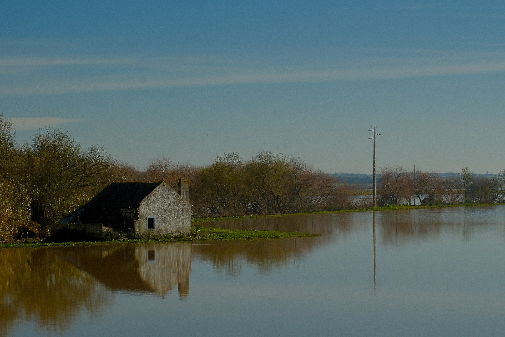
Low and recent land, flooded and very fertile, the Lezírias from the terminal section of Tejo River are a characteristic element in shaping the landscape of Benavente municipality.
The Lezíria is located below the average water level of Tejo Estuary which makes it necessary to have defense structures, walls and ditches that separate the land conquered from the river, supporting an agricultural or livestock activities based on fresh water, from the more natural estuarine areas subject to the tidal regime.
Originally poor, the Lezíria lands were built from the XIV century onwards, by aggregating muddy and saline bottoms from the estuary itself into multiple deltaic islands, a characteristic that is present in the word “lezíria” itself, which comes from the Arabic term “al Jazira” or “the island”.

Over the years, the salinity of the Lezíria lands has tended to be mitigated by specific agricultural practices, by irrigation with fresh water and by the land being fertilized by large floods, which continuously deposit the rich upstream sediments in shallow waters, increasing the quality of the soils, which are currently some of the most fertile on the Iberian Peninsula.
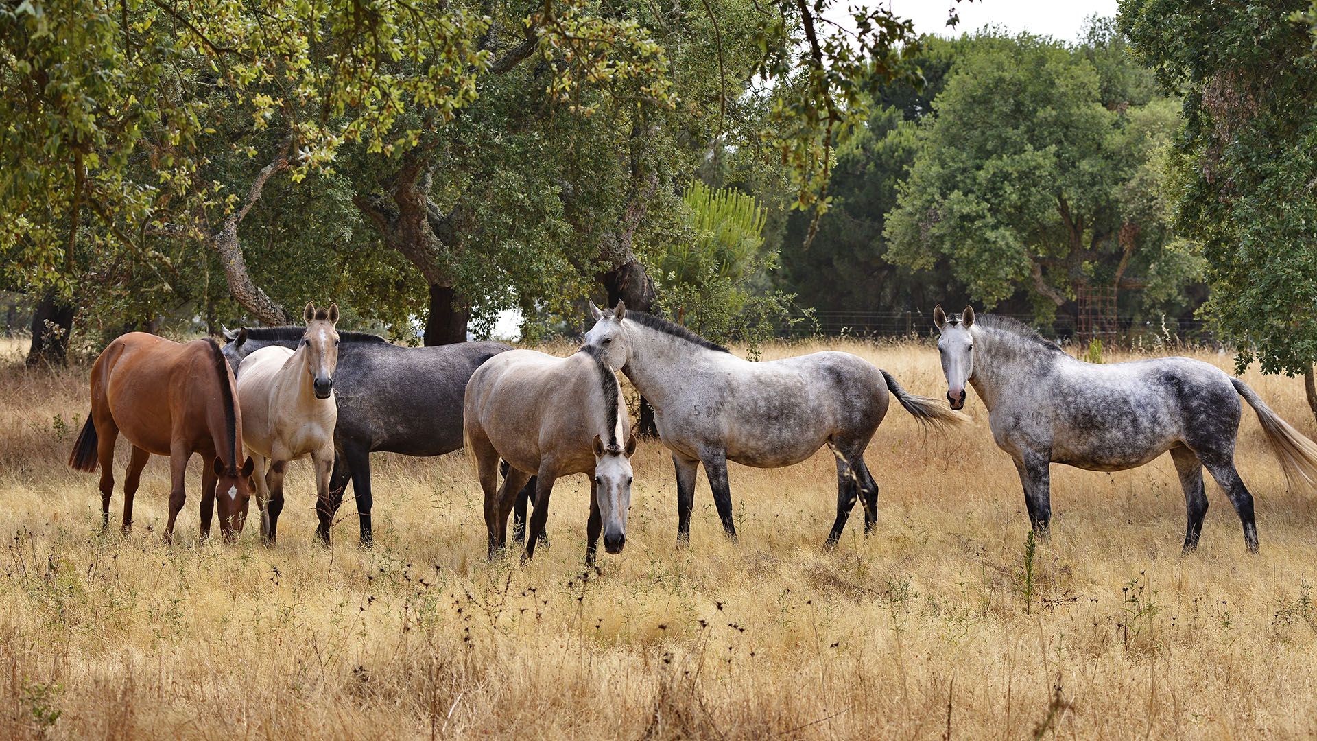
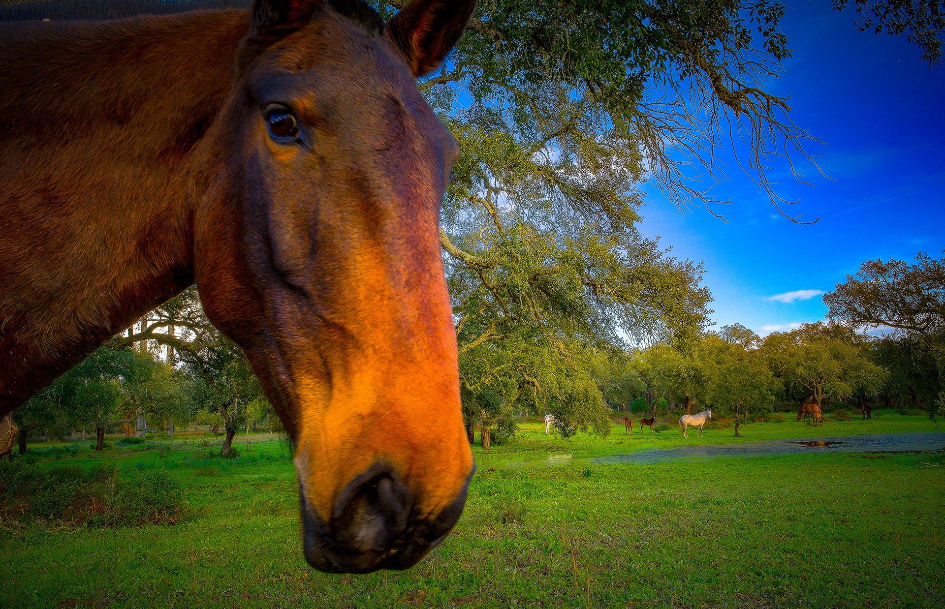
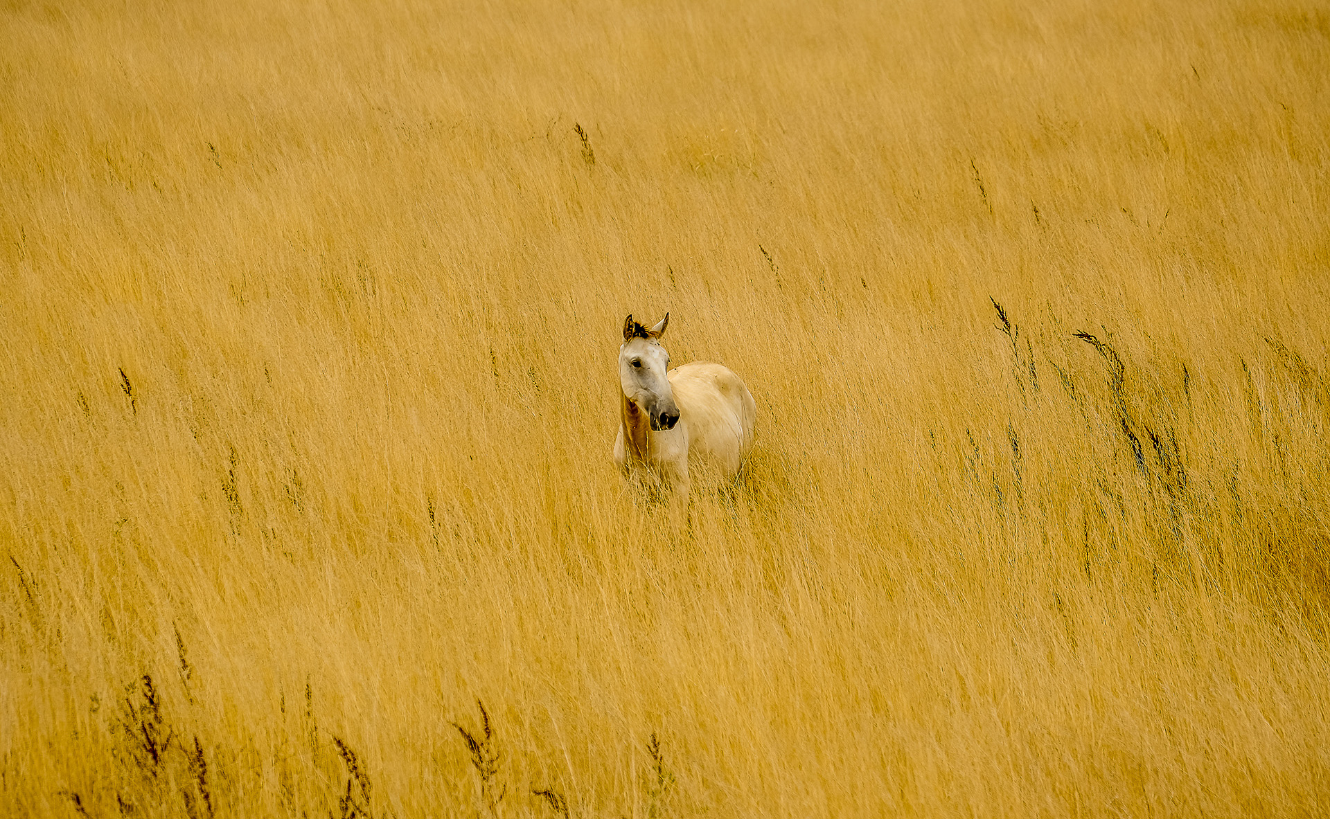
With the current emphasis on rice and tomatoes, the lezíria can support a wide variety of agricultural crops, both rainfed and irrigated, although this has largely prevented livestock production, driving away the horses and cattle that were once a fundamental part of the culture and image of these territories.
Cork Oak Forest
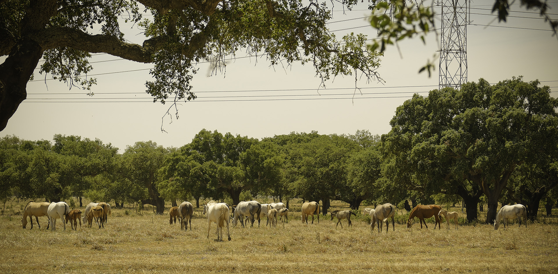
The Charneca do Infantado, in the municipality of Benavente, occupies an area of 11,000 hectares, on land owned by Companhia das Lezírias alone.
There are cork oak stands with morphologies and structures ranging from cork oaks with a complex shrub structure, to mixed stands with maritime pine and stone pine, to cork oak forests without a shrub layer, together representing more than three quarters of the forest area (6,725 ha).
Cork is a natural, renewable and very valuable resource. At Companhia das Lezírias, this wealth is cherished so that it is sustainable.
The economic value of cork oak forests is reflected in the production of cork, with Portugal being the largest exporter of this material, and its cultural importance is largely related to their role in conserving biodiversity. The cork oak forest is also capable of supporting other economic activities of regional and local importance, in particular the raising of quality meat and milk as the basis of the agri-food industry, the beekeeping, the collection of edible mushrooms, the exploitation of hunting resources and nature, rural and eco-tourism activities.
It’s a system whose central element is man. The “monte”, a structuring and distinctive element of the Montado, is the first human settlement in the territory and the rural housing unit of the Alentejo and Ribatejo.
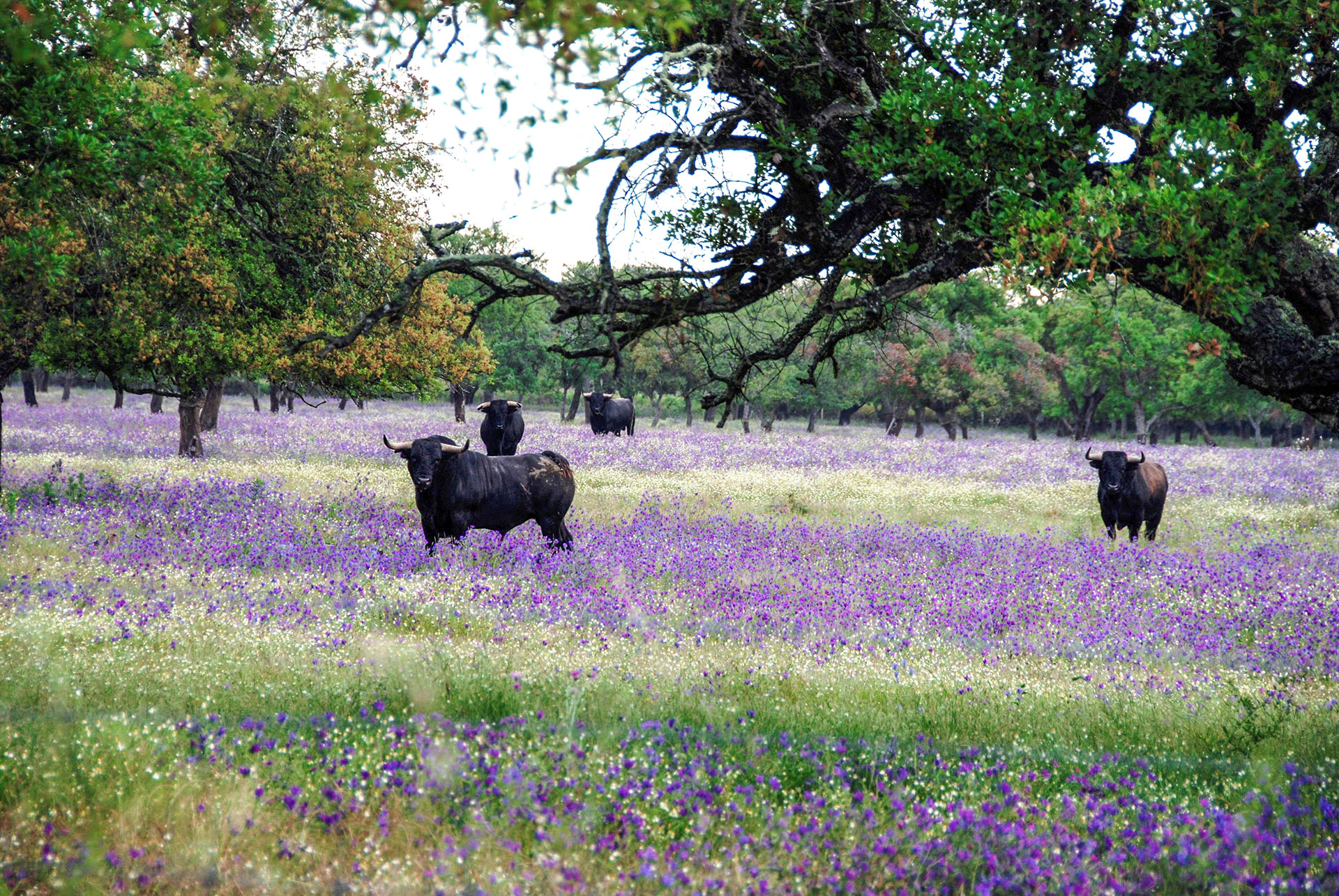
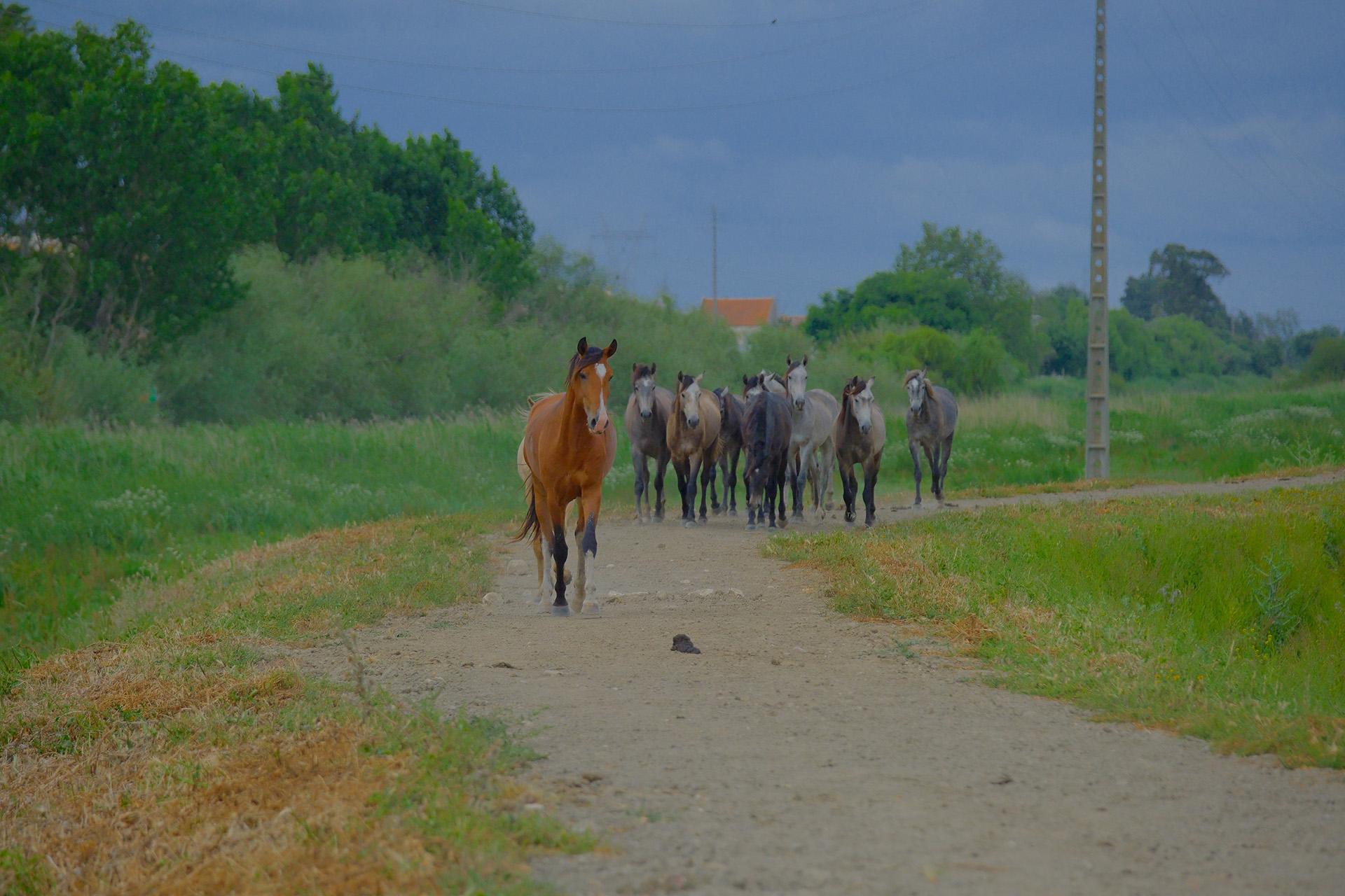
Campino
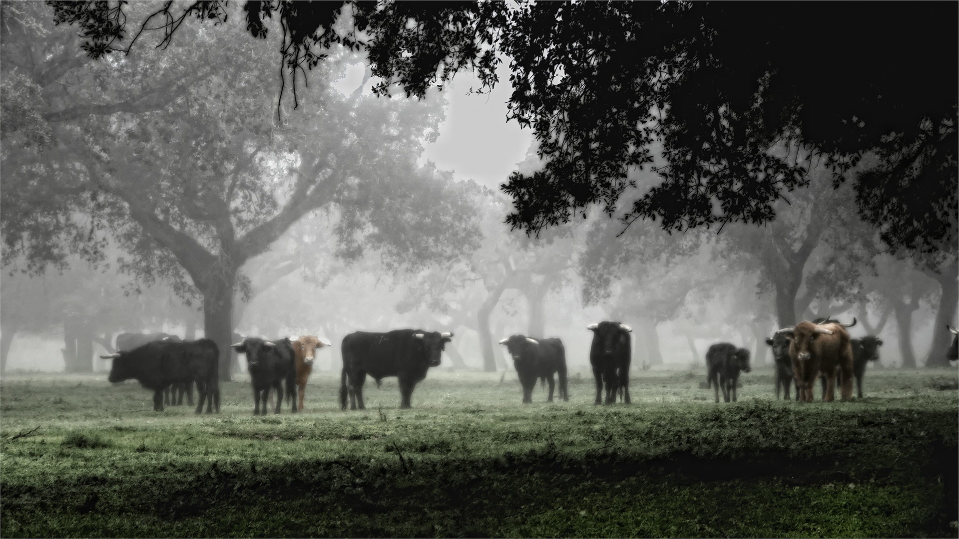
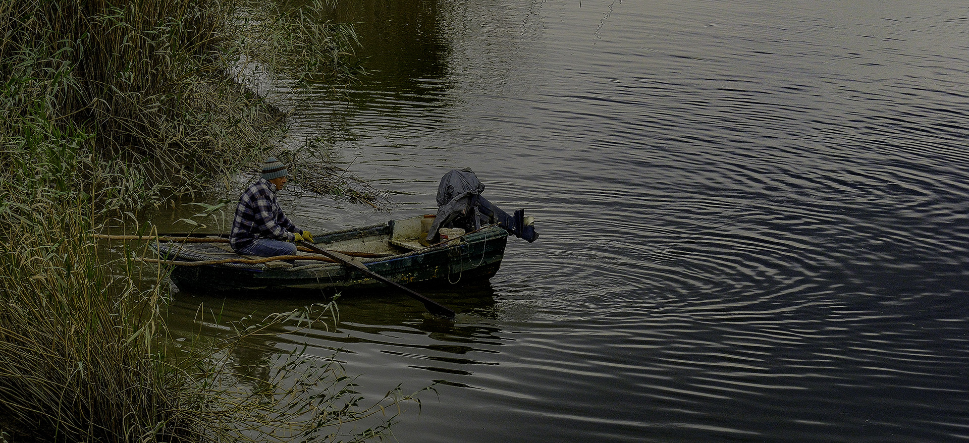
sIn a territory marked by marshes and moors, the relationship between man and animal, cattle and horse, has been very close and almost symbiotic over the centuries and here we are referring to the campino.
This expression has been the broadest cultural reference in Ribatejo. The bravery of the bull, the landscape as far as the eye can see and the solitary stay in the countryside have all helped to emphasize the deeds and evoke the acts of courage and bravery of this “figure from the lezíria who is born and dies in the fields of Borda d’água” (M. Mesquita, 1908). As early as the 17th century, we find references to these cattle herders on the banks of the River Tagus.
From the 19th century onwards, the emergence of Agricultural Houses and the consequent development of animal and cereal production required numerous rural activities, of which the Campino stands out as a chieftain, keeper, farm hand or royal chieftain.
At the beginning of the 20th century, large-scale agricultural and livestock productions multiplied on these fertile soils and during fallow periods, herds of horses and cattle took advantage of the pasture that the land offered. A class of workers, artisans, horsemen and handlers, masters in the field arts, who today we call campinos, were consolidated within the Agricultural Houses.
The figure of the campino is recognised in this territory as our own, it manifests itself spontaneously and inevitably in the image we build of our culture, in what distinguishes us, makes us unique and which is our cultural identity.