
Tejo Estuary Nature Reserve
The Tagus Estuary Nature Reserve (RNET) is made up of approximately two-thirds of estuarine waters and covers territory belonging to the municipalities of Alcochete, Benavente and Vila Franca de Xira.
Protected Areas
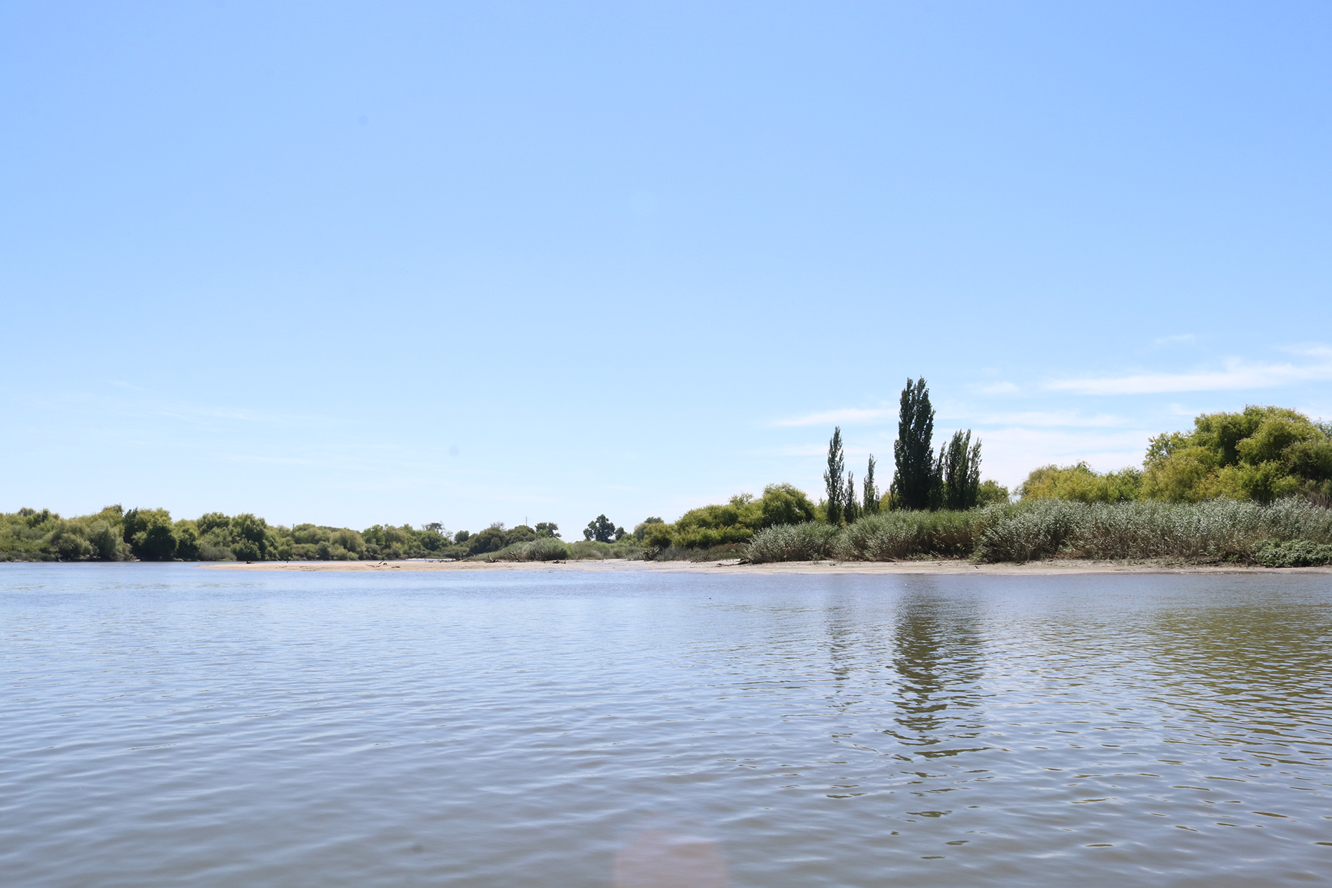
From its source in Spain, in the Albarracin Mountains, to its mouth near Lisbon, the Tagus runs for 1,100 km, making it the longest river that crosses Portugal.
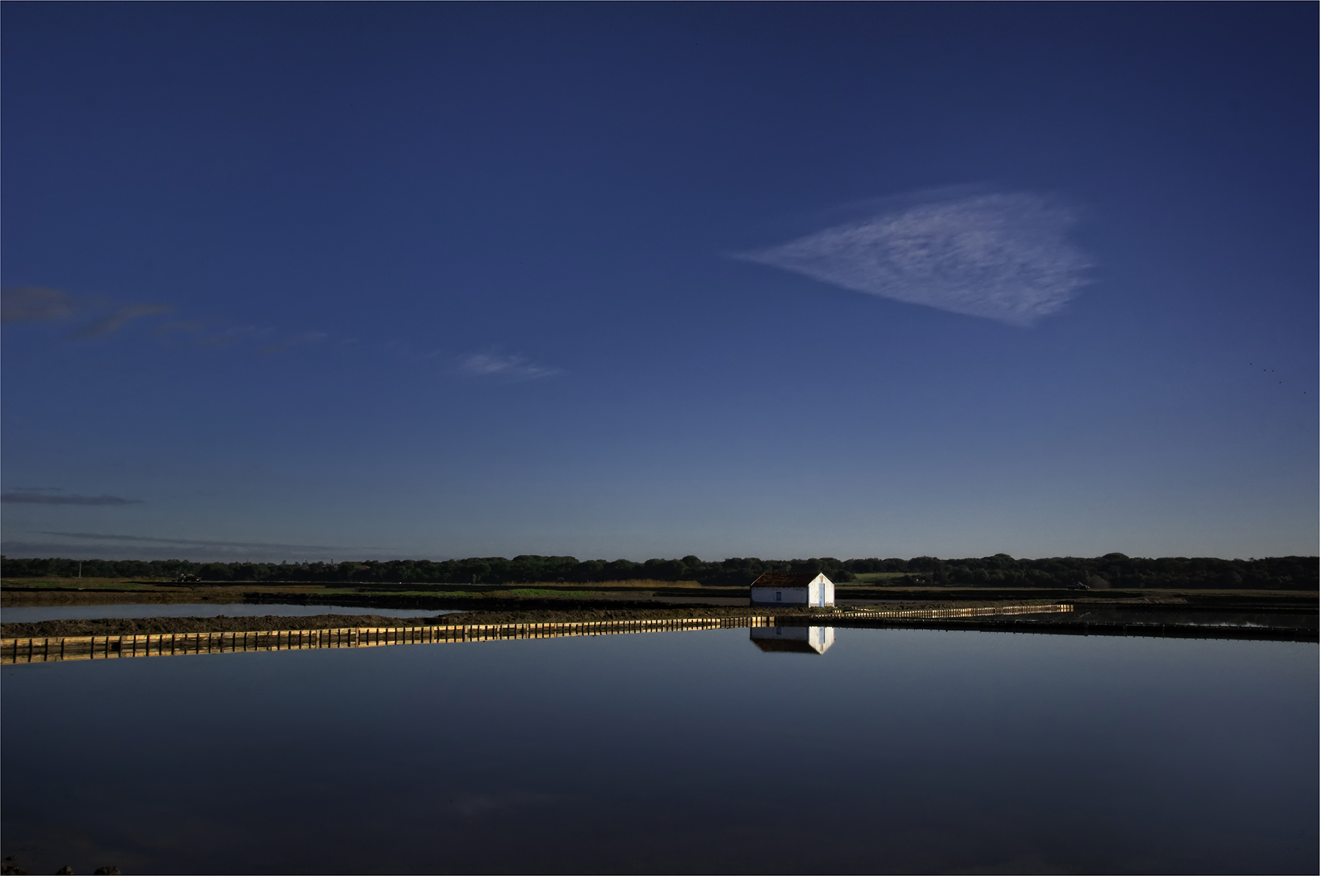
The Tagus Estuary Nature Reserve covers an area of 14,416.21 hectares, including a vast area of estuarine waters, mudflats intersected by estuaries, shallows, salt marshes, salt pans, and alluvial agricultural land (lezírias). It is located in the most upstream area of the estuary, spread across the municipalities of Alcochete, Benavente, and Vila Franca de Xira, and does not exceed 11 m in altitude and 10 m in depth.
The mangroves thrive on the estuary’s banks, whose flora thrives under the influence of the tides. A highly productive region for polychaetes, mollusks, and crustaceans, it serves as a veritable breeding ground for several fish species, such as sole and sea bass. Among the typically sedentary estuarine species, the sand goby and the Moorish shrimp stand out. For migratory fish such as lamprey, yellowtail, and eel, the Tagus serves as a transitional area between the marine and river environments.
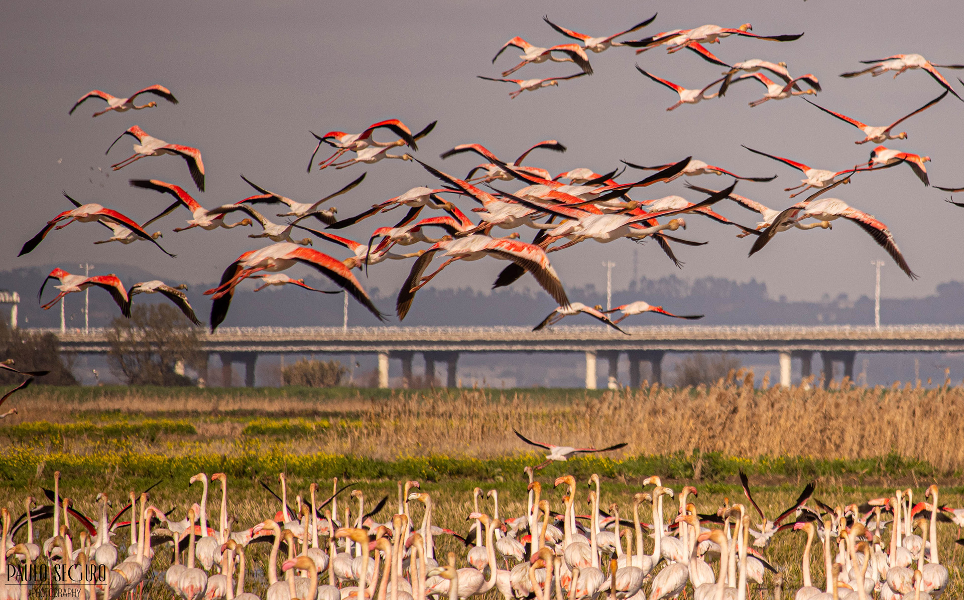
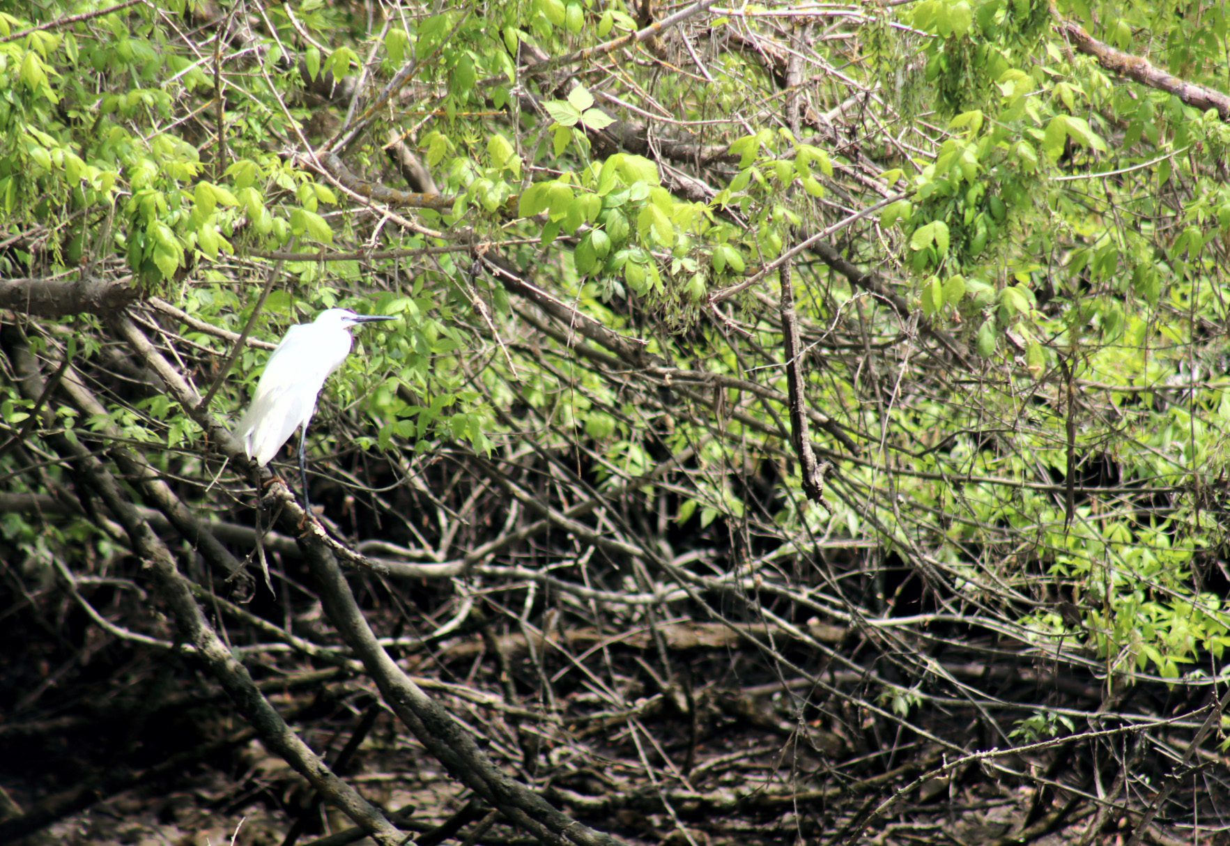
However, it is the aquatic birdlife that makes the Tagus Estuary the most important wetland in the country and one of the most important in Europe. Indeed, flocks of wintering species number approximately 120,000 individuals. Regular counts indicate that more than 10,000 waterfowl and 50,000 waders winter in this Nature Reserve. Many other species also attest to the biological richness and value of this region for Nature Conservation, notably the flamingo Phoenicopterus roseus, the greylag goose Anser anser, the black-breasted sandpiper Calidris alpina, and the black-tailed godwit Limosa limosa.
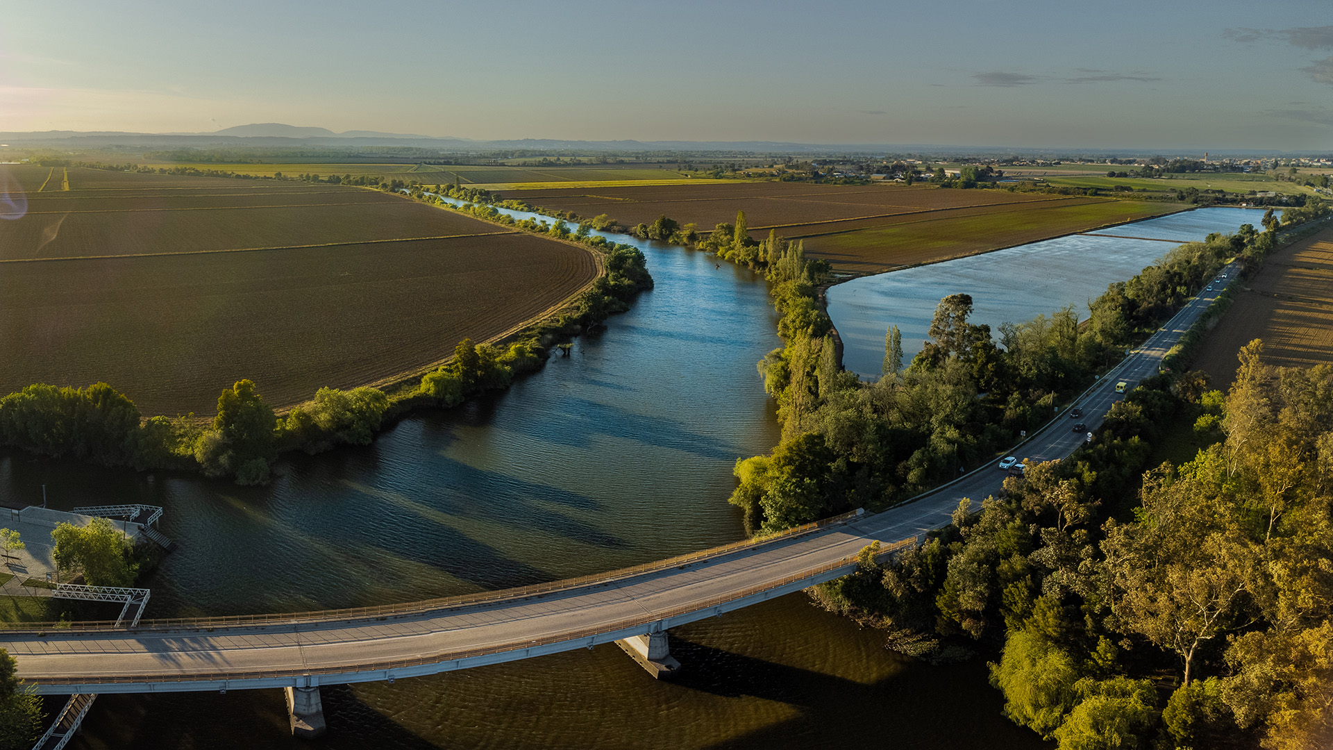
Sorraia River
The Sorraia River is a Portuguese river that rises in the parish of Couço and results from the junction of two streams, the Sor River and the Raia River. It is the tributary of the Tejo River with the largest hydrographic basin (7730 km²), receiving several streams along its course, the main ones being the Erra, Divor and Juliano streams, and near Porto Alto it receives the Almansor River.
Over the centuries it has played a vital role in the region, and history tells us that Romans and Arabs settled here, using its water for agricultural fields and as a means of communication, to export the products cultivated in the fertile lands of the Sorraia Valley, where they developed ingenious irrigation systems that are still in use.
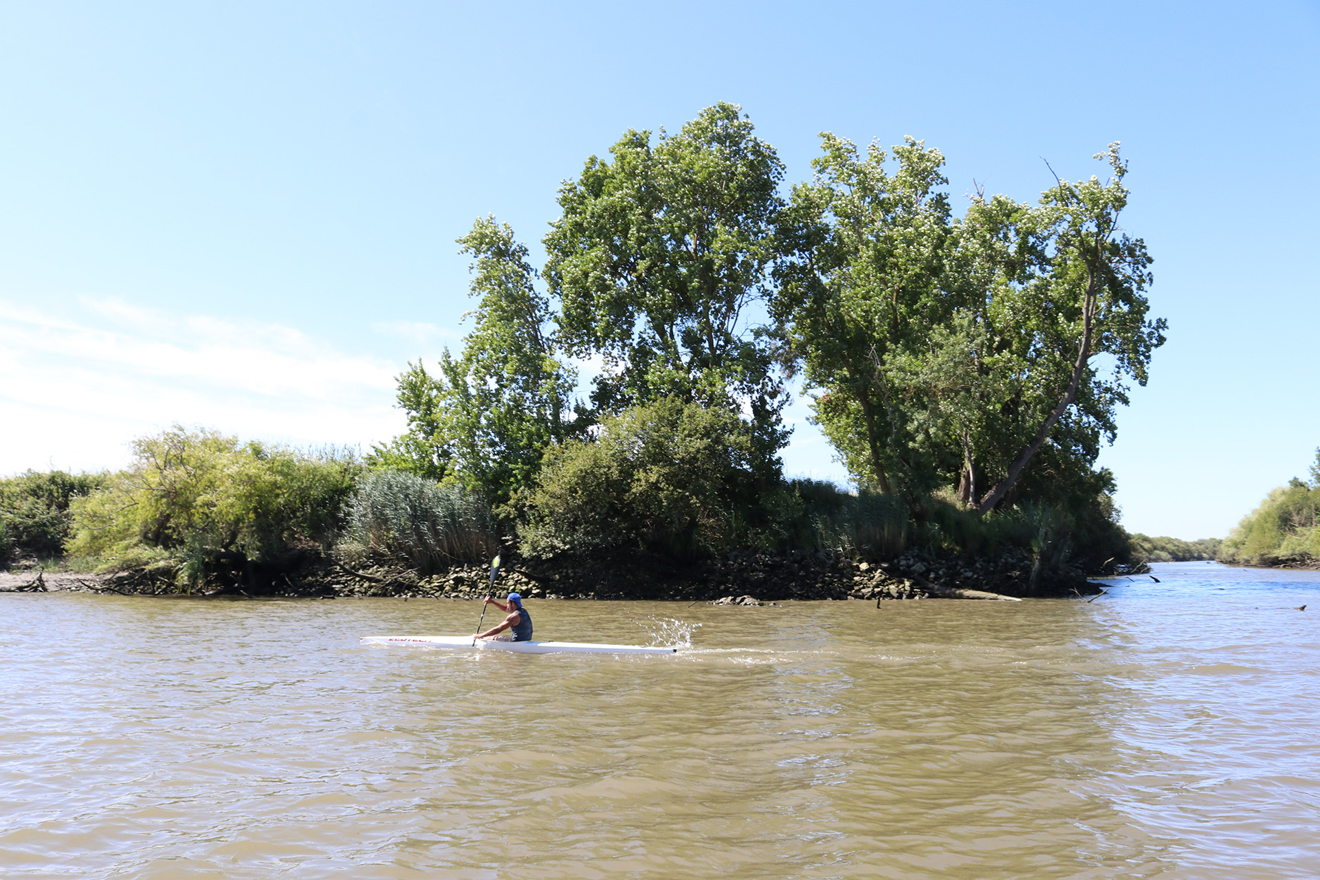
The Sorraia passes through the towns of Coruche and Benavente and flows into the Tejo River, at Ponta da Erva, near Vila Franca, after traveling approximately 155 kilometers. The river is navigable by small boats on certain routes, but until the beginning of the 20th century it was completely navigable, having seen significant river traffic for the flow of agricultural and forestry products, namely cork, wood and cereals.
In the second half of the 20th century, the Sorraia Valley Irrigation Plan was put into action with the construction of the Montargil and Maranhão dams, together with the Sorraia Canal, with the aim of making better use of water resources to boost the region’s agricultural yield, a goal that was achieved.
Almansor River
The Almansor River is a Portuguese river, a tributary of the Sorraia. It rises near Arraiolos and flows into the Sorraia near Samora Correia, in the municipality of Benavente, after a journey of 97 kilometers.
Its route passes through Montemor-o-Novo, Vendas Novas, Canha and Santo Estêvão.
Access to the Almansor river can be done through the Várzea Grande of Samora Correia, through the ditches, passing through the Silveiras area, following Pombalinho, through the riverside area of Samora Correia to Porto Alto. Here, the Almansor River meets the bed of the Sorraia River, a tributary of the Tejo River with a substantial watershed, which flows into the Tejo River at Ponta da Erva (Vila Franca de Xira).
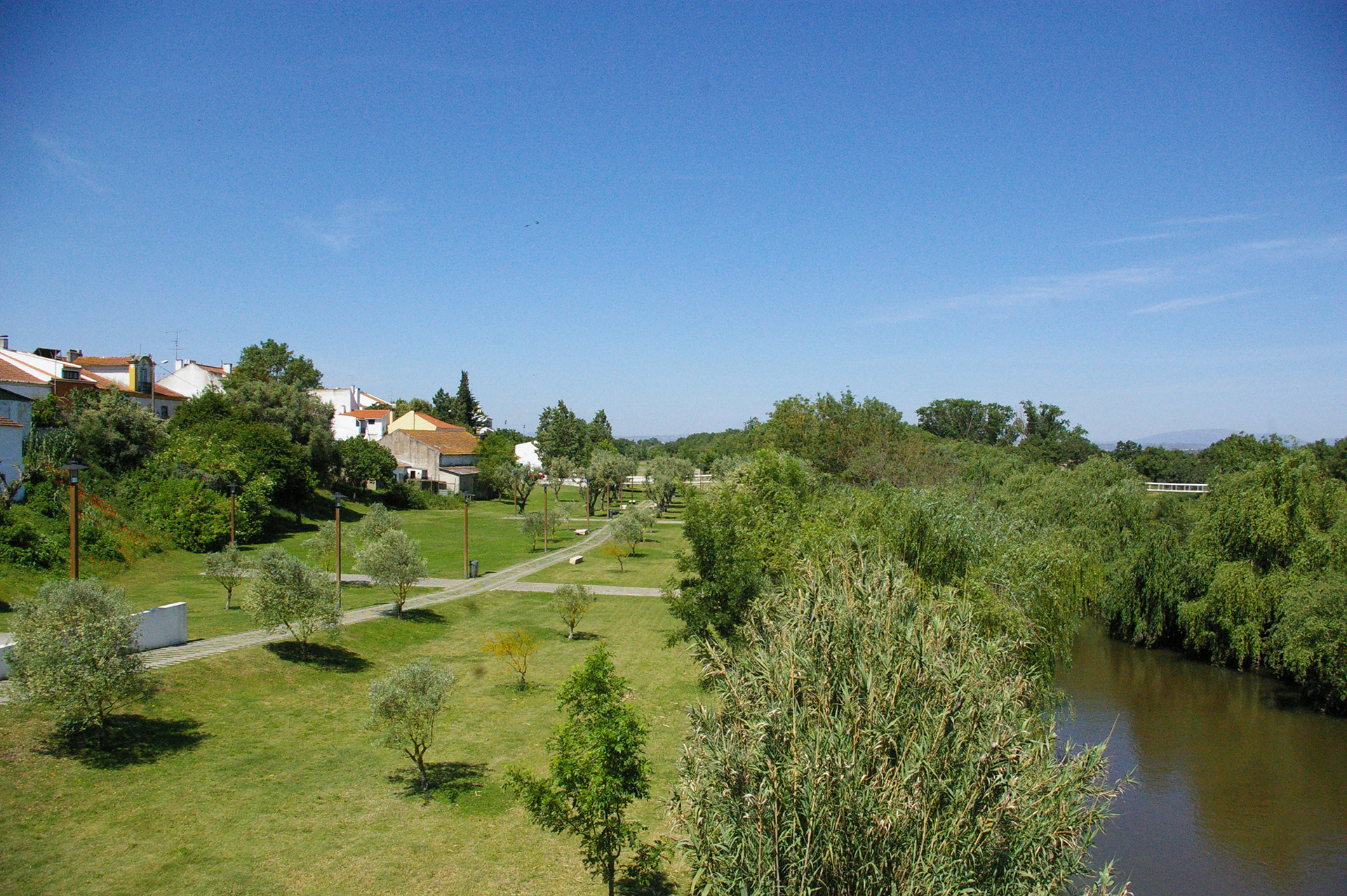
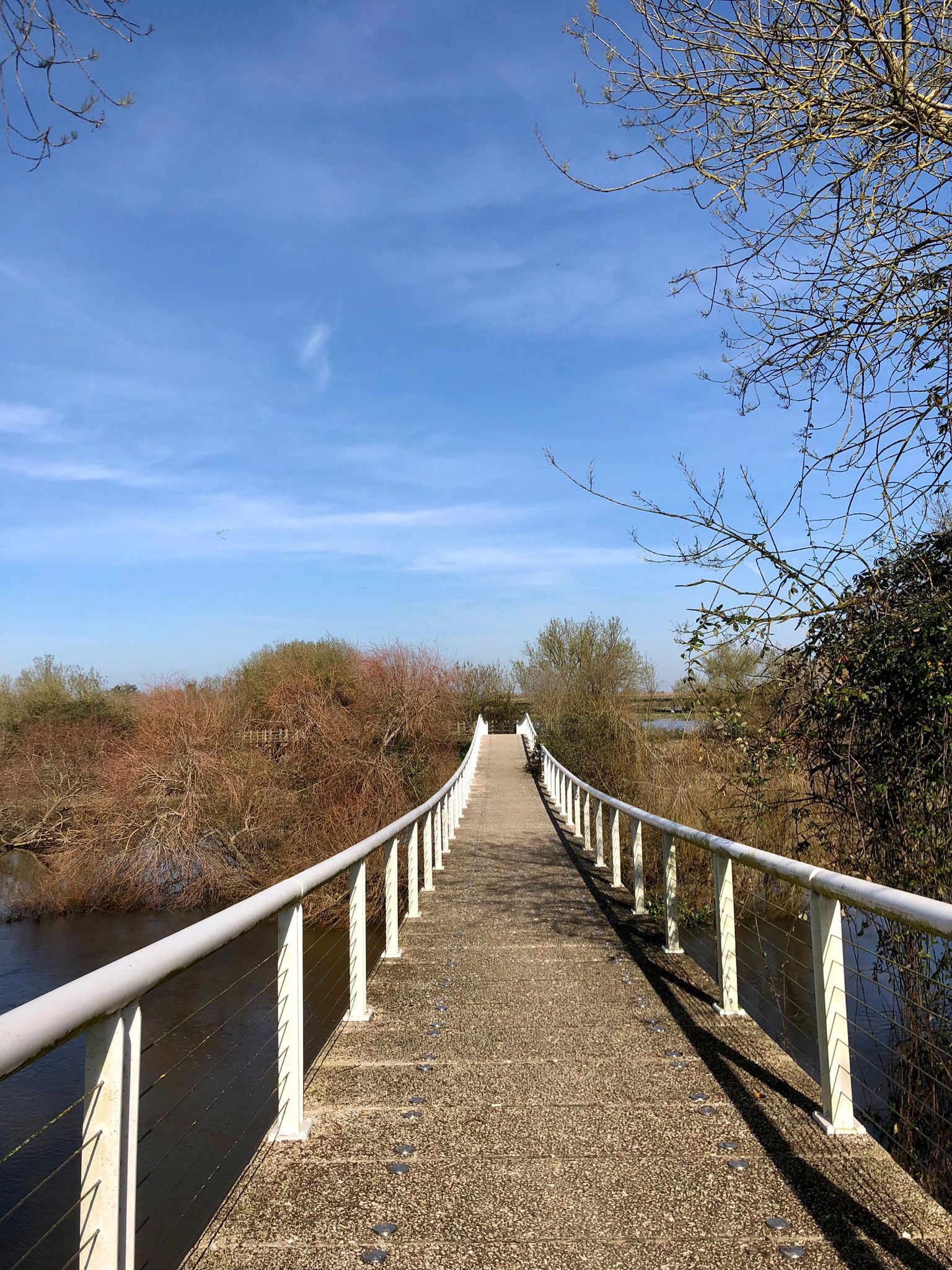
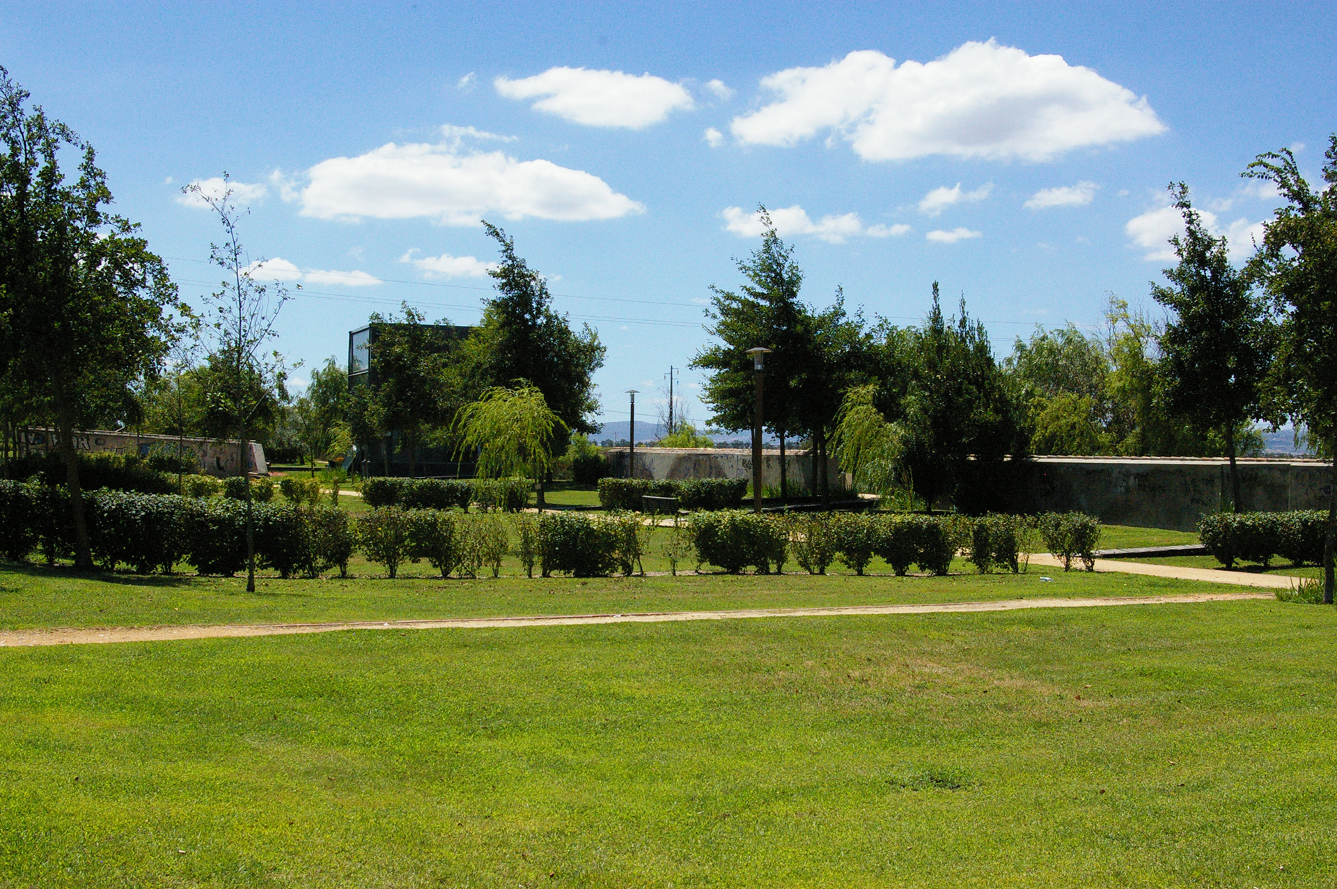
Benavente Riverside Park
The Benavente Riverside Park is an excellent space for leisure. With a vast green area suitable for walking or cycling along the banks of the Sorraia River, it is also connected by a pedestrian circuit to the Caís da Vala Nova and Picnic Park, through a bridge over the river waters, and to the Camarinhais Sports and Leisure Complex.
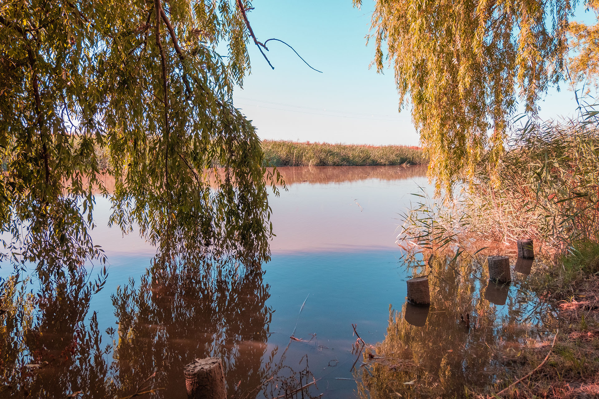
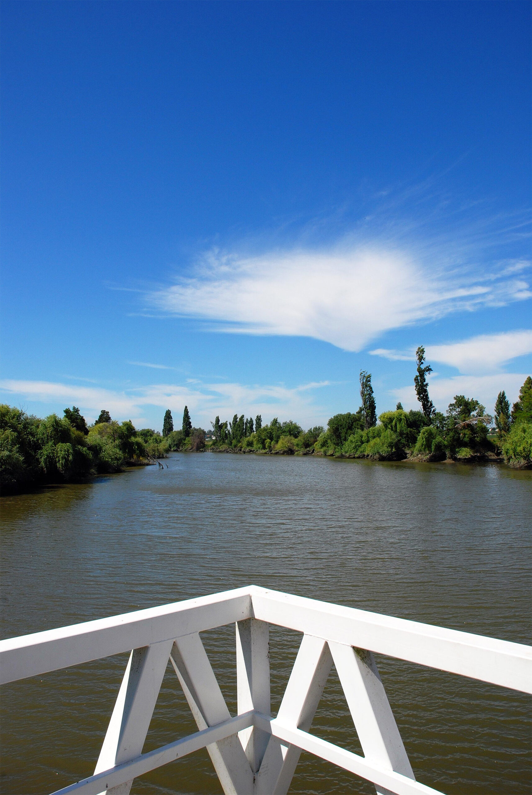
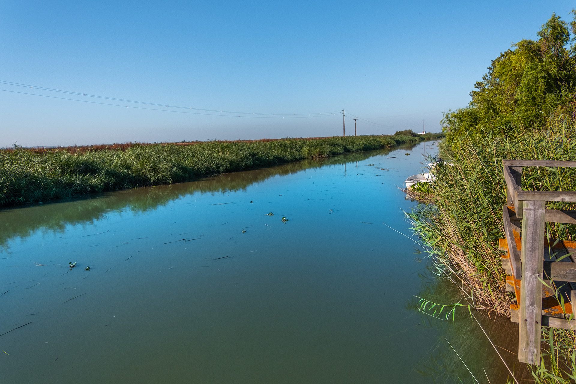
Vala Nova
Vala Nova is a built-up landscape that nature has quickly appropriated, turning it into an extraordinary repository of life with its very own characteristics. It is a natural resource with excellent conditions for enjoyment that you can discover at any time of the year.
The pier allows small boats to dock, making it an asset for those who enjoy water sports. To spend the day, enjoy the picnic area. With stone tables and benches, just choose the shade that suits you best.
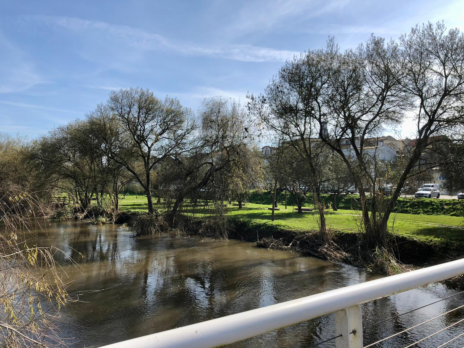
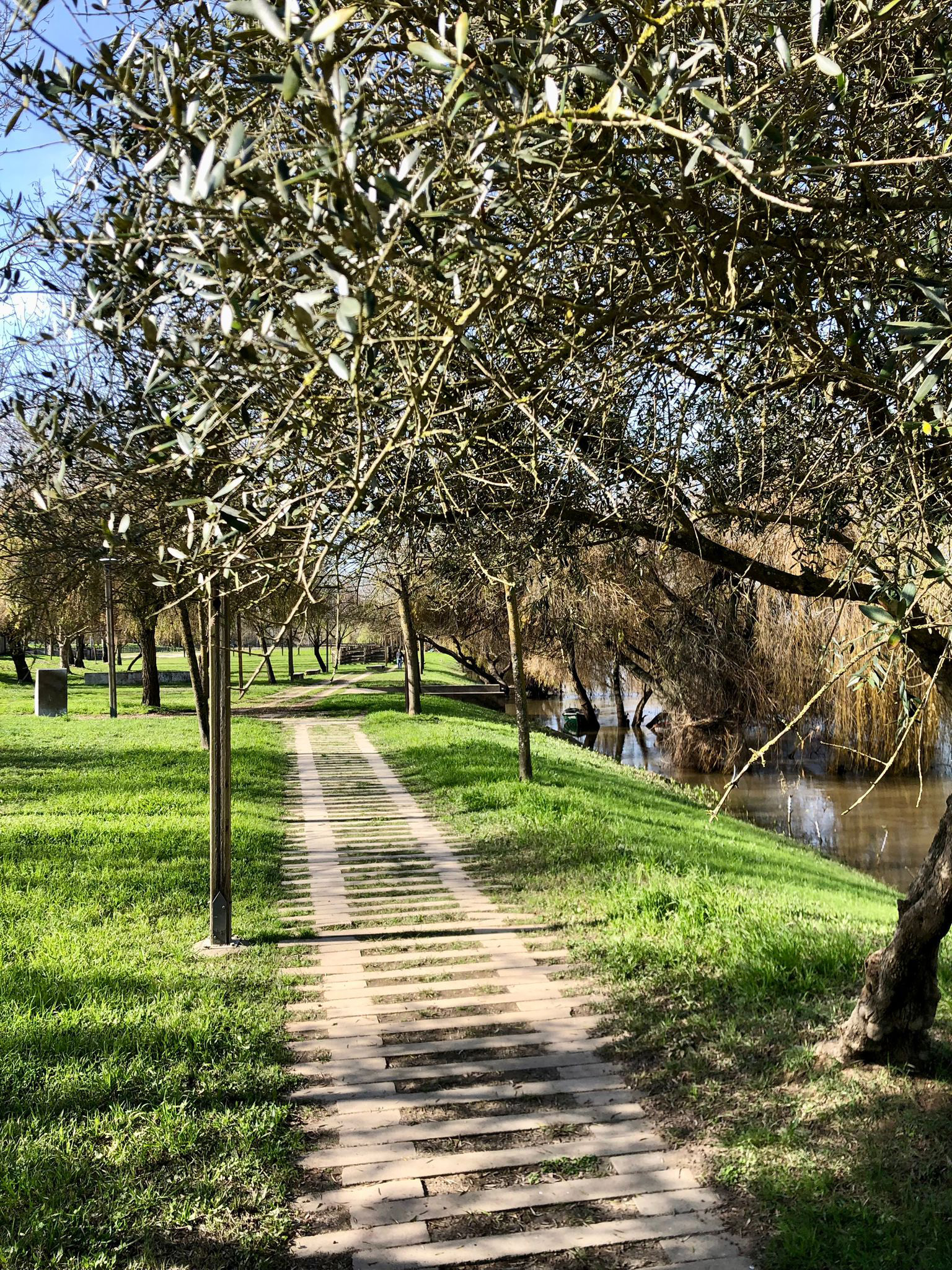
Samora Correia Riverside Park
The Samora Correia Riverside Park is a large green space located next to the Almansor River, suitable for walking and cycling, as well as other sports and leisure activities.
Benavente Town Council has organized various initiatives there, such as riverside mornings and Children’s Day, and the aim is always for the population and visitors to enjoy this pleasant riverside area.